Special points of interest within the Nine Mile Creek conservation area are highlighted in the Google map above.

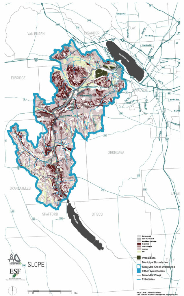
The maps below are available for download in Adobe Acrobat PDF format or where indicated, available to view in Arc GIS interactive map format. Maps will open in a new window.

Watershed Regional Map

watershed map

Municipalities Trans Routes Map

Municipalities Trans Routes Map

Wetlands Map

Wetlands Map

Existing Parks and Trails Map

Existing Parks and Trails Map

Towns and School Districts Map

Towns and School Districts Map

Superfund Sites Map

Superfunds Sites Map

Soil PH Map

Soil PH Map

Soil Moisture Map

Soil Moisture Map

Slope Map

Slope Map